Stays from 31 nightsCheck dates
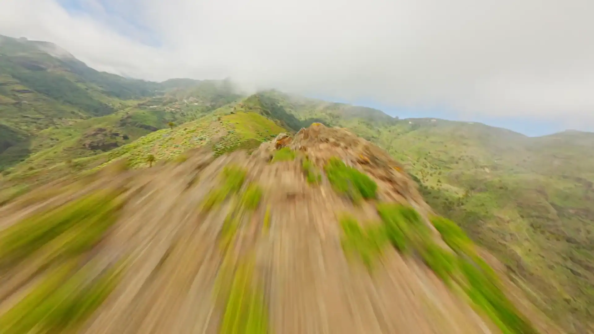
Drone flight over the mountains and coast of La Gomera

Mountains, mist and adventure.

From the peaks to the sea, in a heartbeat.

Cliffs, coves and silence.

The whole island, at your own pace.

Ten minutes from the port.A world away from the noise.

The area

We are in El Atajo, Chejelipes, in the Barranco de La Villa. About 150 metres above sea level and ten minutes by car from the port of San Sebastián.

Altitude
About 150 m
Port of San Sebastián
10 min by car
Winter
16–24 °C on average, at most about 3 days of rain a month
The Chejelipes dam with water spilling over, among palm trees
The port and town of San Sebastián from above, with Teide across the sea

Where we are

Old engraving of the relief of La Gomera Finca Hondura — El Atajo
Open in Google Maps

Getting here

  1. By plane

    To Tenerife South.

  2. By ferry

    From Los Cristianos to San Sebastián, about 50 minutes, with Fred. Olsen or Baleària Canarias.

  3. By car

    Ten minutes from the port to the house.

We strongly recommend coming with a car: town bus 1 runs only twice a day, at 7:00 and 13:00, and not at all on Sundays.

How to get to La Gomera

From near to far

Driving times from the house.

Map of the island of La Gomera by Tomás López, 1780
Old woodcut of a palm tree
The Chejelipes dam and reservoir, with El Atajo and the ravine road
1970 — 682,700 m³ of water
Palm grove and tiled roof at La Laja, at the top of the ravine
La Laja — palm grove at the top of the ravine
Crown of a Canary palm

The ravine

What lies right outside the door.

  • Chejelipes dams

    Built in 1970. They hold 682,700 m³ of water, and you can walk along their walls.

  • Palm groves

    All along the ravine. Palm honey comes from these palms.

  • Climbing in El Atajo

    Next to the house

    Fewer than ten routes, from 5a to 6c.

  • Trails to Majona

    Paths that climb from the ravine to Majona Natural Park.

The Roque de Agando and the valley running down to the sea

The mountains

Uphill, into the heart of the island.

  • Roque de Agando

    25 min

    A rock rising to 1,250 metres.

  • Benchijigua

  • Garajonay National Park

    35–40 min

    Laurel forest. A World Heritage Site since 1986.

Old botanical plate of laurel
Laurel forest — World Heritage since 1986
1799 plate of the Canary bellflower
Canary bellflower — plate from 1799
British nautical chart of La Gomera, 1848
1565 engraving of a three-masted sailing ship
Los Órganos: basalt columns rising from the sea
Los Órganos — from the sea
Dark-sand and pebble beach in San Sebastián
10 min — San Sebastián beach
Playa de Santiago and its harbour from above
Playa de Santiago — 40 min
The cove of El Cabrito seen from the sea
El Cabrito — on foot or by boat only

The sea

Beaches ten minutes away, and coves you can only reach on foot or by boat.

  • San Sebastián and La Cueva beaches

    10 min

    Next to the capital.

  • Ávalo

    20 min
  • La Guancha and El Cabrito

    Coves you can only reach on foot or by boat.

  • Playa de Santiago

    40 min
  • Valle Gran Rey and Los Órganos

    1 h 15 min
Old engraving of the map of La Gomera
Old plate of palm trees
Woodcut from 1493 showing a ship
The Roque de Agando
1,250 m — Roque de Agando
Portrait believed to be of Christopher Columbus
6 September 1492 — Columbus sets sail from San Sebastián
The Barranco de La Laja from slope to slope, with palm trees in the foreground
UNESCO 2009 — the silbo, from slope to slope
A pair of wooden chácaras on a stone slab
Chácaras — Gomeran castanets
Clay carabuco from Chipude
Chipude pottery — clay shaped without a wheel

An island that still speaks in whistles